A new study using Copernicus Sentinel-1 data found that glaciers feeding the George VI Ice Shelf speed up by approximately 15% during the Antarctic summer. This is the first time seasonal cycles have been detected on land ice flowing into ice shelves in Antarctica.
Continue reading “Seasonal changes in Antarctic ice sheet”Ancient ice age valleys
Deep valleys buried beneath the seafloor of the North Sea record how the ancient ice sheets that used to cover Europe expelled water to stop themselves from collapsing.
Continue reading “Ancient ice age valleys”Glaciers on Mars
Mars was once supposedly almost another Earth, with flowing water that froze into massive mountains of ice.
Continue reading “Glaciers on Mars”Melt ponds in West Greenland
During spring and summer, as the air warms up and the sun shines down on the Greenland Ice Sheet, melt ponds form. Melt ponds are extensive pools of open water that form on both sea ice and ice sheets and are visible from space.
Continue reading “Melt ponds in West Greenland”Temperature-salinity staircases
Researchers at the University of Toronto have identified the mechanism responsible for the formation of salinity and temperature “staircases” in the Arctic Ocean, resolving a mystery that has complexed oceanographers and climatologists for more than half a century.
Continue reading “Temperature-salinity staircases”Southern Ocean climate model bias
Clouds can warm or cool the planet’s surface, a radiative effect that contributes greatly to the global energy budget and can be altered by human-caused pollution. The Southern Ocean is far from human pollution but subject to abundant marine gases and aerosols. It is about 80% covered by clouds.
Continue reading “Southern Ocean climate model bias”How hurricanes form
Tropical cyclones form from clusters of persistent thunderstorms. These thunderstorms draw a great amount of air from the lower levels and vent it high into the atmosphere, leaving less air and lower air pressure at the surface.
Continue reading “How hurricanes form”Full year view of Arctic sea ice
Satellites can now measure the thickness of Arctic sea ice all year round. Previously, satellites have had trouble determining the state of the floes in summer months due to the presence of surface meltwater.
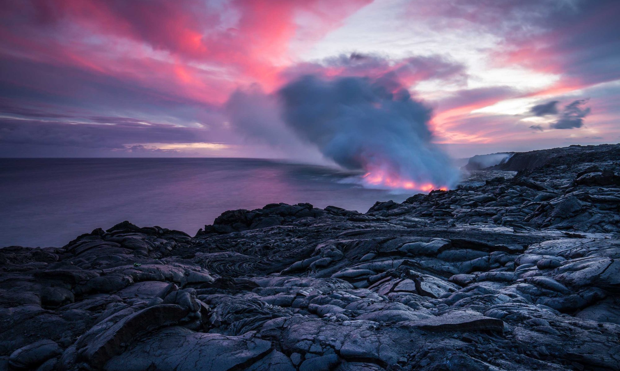
Continue reading “Full year view of Arctic sea ice”Fagradalsfjall eruption
Recent discoveries from Iceland’s Fagradalsfjall eruptions have changed what we know about how volcanoes work.
Continue reading “Fagradalsfjall eruption”50 years of ice loss in Greenland
A pair of satellite images from 50 years apart reveals striking changes to the glaciers and ice caps in Northwest Greenland.
Continue reading “50 years of ice loss in Greenland”